Stormandans Hurricane Center

Home
Guest Book
Message Board
Storm Chat
National Buoy and Data Center
Model Plots From WREL
Tropical Models
NOAA Satellites And Information
NHC Discussion
Satellite Imagery
Radar Images
Favorite Links
marine forecast
NRL TC Site
Saffir-Simpson Scale

storm.gif

<

hurrican1.gif

This Is Gary Grays  TranTech models Pretty cool!!!

_

TranTech Forecasting Model TRACK SEE THE NHC FOR OFFICIAL INFO!!!)
: width=
Other Trantech Maps:
Strike Probability Graphic (strike probs
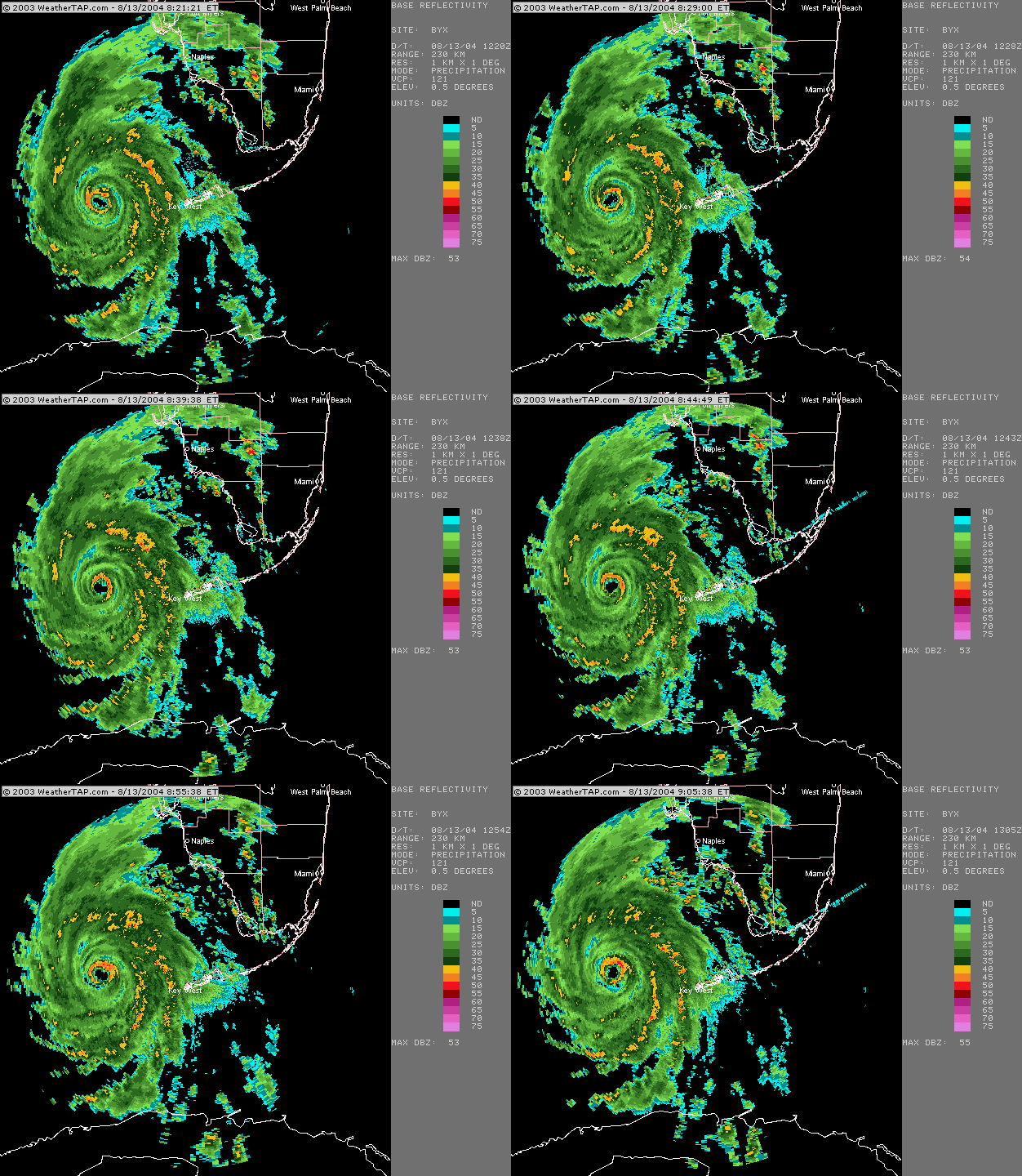
charlie_radar_08_13_0900ani-1.gif

Watches & Warnings


Watches & Warnings
The following images are updated every 10 minutes. This may take a moment longer than normal to load...


Southeast
Northeast
Southcentral
Northcentral
Southwest
Northwest

Satellite Services Division - GOES Western Atlantic IR Ch. 4 Loop


Link to the Coast Watch Link to the SSD Fire Products Link to the Operational Special Events Imagery Link to the SSD Precipitation Products Link to the SSD Snow and Ice Products Link to the SSD Tropical Products SSD Volcano Products & the Washington VAAC Link to the SSD Winds products
Link to the SSD Mission Statement Page

Real Time GOES Imagery - Western Atlantic Infrared Ch. 4 Loop


Java must be enabled for radar loops to display.

In Netscape:
Select: Edit -> Preferences -> Advanced
Check "Enable Java" and "Enable Javascript"

In Internet Explorer
Select: Tools -> Internet Options -> Security tab
Select the Internet zone and set the Security level for the zone to "Medium"


You may need to restart your browser after making these changes.

Images old? Click "Refresh" above the image


<

 Now Tracking Tropical Storm Danielle

 
 Current Atlantic Satellite

  click to enlarge

Visible Image Courtesy of Satellite Services Division:

Water Vapor Image Courtesy of CIMSS Tropical Cyclones:


Atlantic Basin Graphics

Latest Tropical Weather Outlook: Go back to top of page...

Satellite Pictures Of The Atlantic Basin: Go back to top of page...

Western Atlantic Infared Image Courtesy of CIMSS Tropical Cyclones:

Western Atlantic Visible Image Courtesy of NOAA:

Western Atlantic Water Vapor Image Courtesy of NOAA:

Eastern Atlantic Infared Image Courtesy of CIMSS Tropical Cyclones:

Current Atlantic Surface Weather Analysis: Go back to top of page...

Current Atlantic 700-850 mb Mean Wind Analysis (TC Sfc Pressure Range 1000-1010 mbs): Go back to top of page...

Current Atlantic 500-850 mb Mean Wind Analysis (TC Sfc Pressure Range 990-999 mbs): Go back to top of page...

Current Atlantic 400-850 mb Mean Wind Analysis (TC Sfc Pressure Range 970-989 mbs): Go back to top of page...

Current Atlantic 300-850 mb Mean Wind Analysis (TC Sfc Pressure Range 950-969 mbs): Go back to top of page...

Current Atlantic 250-850 mb Mean Wind Analysis (TC Sfc Pressure Range 940-949 mbs): Go back to top of page...

Current Atlantic 200-700 mb Mean Wind Analysis (TC Sfc Pressure Range <940 mbs): Go back to top of page...

Current Atlantic Wind Shear Analysis: Go back to top of page...

Atlantic Wind Shear Forecast: Go back to top of page...

Maximum Potential Hurricane Intensity Chart: Go back to top of page...

2004 Tropical Cyclone Tracks: Go back to top of page...

2004 Atlantic Basin Tropical Cyclone Names: Go back to top of page...
Alex Bonnie Charley Danielle Earl
Frances Gaston Hermine Ivan Jeanne
Karl Lisa Matthew Nicole Otto
Paula Richard Shary Tomas Virginie
Walter        

HURRICANE SEASON 2004